
The train crosses the white plain in the last light of the afternoon, its windows filled with a blue so cold it seems metallic. Outside, the fields have lost their edges under snow, and the few farmhouses along the way sit low against the wind. A fox crosses near a drainage channel, pauses, then is gone into the same whiteness that gave it up a moment before. Farther east, the sea has begun to fill with ice.
Eastern Hokkaidō in winter has no ski resorts to speak of and few towns of any size. What it has is space and cold on a continental scale: drift ice on the Okhotsk coast from late January, sea eagles on the floes off Rausu, swans steaming in the open water of Lake Kussharo, and the largest wetland in Japan lying silent under snow.
the ice
Drift ice on the Okhotsk coast
Ryūhyō, the drift ice that gives the Okhotsk coast its winter character, forms far to the north, off the mouth of the Amur river in Russia, where the river's fresh water lowers the salt of the sea enough for it to freeze early and hard. Wind and current carry the broken sheets south across the Sea of Okhotsk until, in most years, they reach Hokkaidō in the second half of January. Abashiri and the sea west of the Shiretoko headland take the heaviest ice; in a harder winter it reaches north to Wakkanai and round the cape into the Nemuro Strait. Through March it loosens and draws away, and by April the sea is open water again.
Once the ice is in, the sea off Abashiri becomes a white floor. Broken plates press against one another, opening into blue leads and closing again with the tide, and gulls stand along the seams. The sound, when the wind allows it, is a low grinding where the waves used to be, and for six or eight weeks the harbours face a sea that has stopped moving.
Shiretoko, the headland that reaches north-east into the Okhotsk, gives the ice its most complete frame: forested slopes, cliff and cape, and the roads beyond Utoro closed for the season. The name comes from the Ainu sir etok, the place where the land runs out into the sea, often given as the end of the earth.
The ice brings its own wildlife. Steller's sea eagles and white-tailed eagles follow it down from the north to fish the leads, perching on the floes between flights and dropping onto cod and pollock stirred up along the edges. Their numbers along the Nemuro Strait, off Rausu, build to their height towards the end of February: dark birds with heavy yellow beaks, settled on white plates that shift under them by the hour.
Two ships take visitors into the ice itself. From Abashiri, the icebreaker Aurora rides its own weight up onto the floes and lets them crack under the hull, a slow, splintering progress through a sea gone solid. From Monbetsu, the smaller Garinko turns two great screws at its bow and drills straight through the pack.
the marsh
The Kushiro marsh and the caldera lakes in snow
Inland, the coast gives way to a different winter. Kushiro Shitsugen, Japan's largest wetland, its national park some 28,800 hectares across Kushiro, Shibecha, Kushiro Town and Tsurui, became the country's first site registered under the Ramsar Convention in 1980 and a national park in 1987. In summer the marsh is a green expanse the eye cannot find the end of. In winter, snow reduces it to line: a curve of river, a stand of reed gone the colour of paper, a track of animal prints crossing open ground, steam lifting where the water still runs, ice forming and breaking along the same slow bend through a single afternoon. Red-crowned cranes gather in the farmland and river shallows at its edge, with fox, deer and swan for company.
North of the wetland, three caldera lakes keep winter in three different ways. Lake Mashū, clear enough in summer to be counted among the clearest lakes in the world, lies below a crater rim thick with snow, its water rarely freezing over. Lake Kussharo, the largest caldera lake in Japan, draws whooper swans down from Siberia to the warm shallows off the Wakoto peninsula, where heat from the ground keeps a stretch of the lake open through the hardest weeks; hundreds gather there from December into March, steam rising around them as the rest of the lake hardens into ice. Lake Akan, ringed by forest, with an Ainu kotan of carvers on its shore, freezes thick enough by midwinter for people to walk out across it.
the edge
Ports, roads and the edge of the country
Abashiri, Shari, Utoro, Rausu, Kushiro and Nemuro each meet the season differently: some face the packed Okhotsk ice directly, some look south to open Pacific water, some sit back against marsh and river. Fishing boats stand hauled up against harbour ice. Snow fences run beside the roads in long dark lines, and vending machines glow through the early dark outside shuttered shops.
Much of the country is seen from the road. It runs straight through farmland stripped to white and stubble, then narrows into forest where hoarfrost thickens every branch into something closer to coral than wood. A bend opens onto a frozen river. A thermometer on a roadside sign gives a number that explains the sharpness at the back of the throat.
The Senmo line carries the same country by rail, from Kushiro to Abashiri through the wetland and the caldera country before it turns to the coast. In the drift-ice weeks a dedicated service traces the shore between Abashiri and Shari, slowing where the view opens. Its smallest stop, Kitahama, is a wooden platform barely twenty metres from the water, and a passenger who steps down onto the snow finds the ice already filling the view before the train has pulled away.
Farther south, at Nemuro, Cape Nosappu closes the country altogether. It is the easternmost point of Hokkaidō, and its lighthouse, first lit in 1872, is the oldest in Hokkaidō. Low islands lie a few kilometres offshore, close enough to see clearly on a cold, still day.
By late afternoon the light leaves the snow. A single harbour lamp comes on, and somewhere beyond the breakwater, out of sight, the ice grinds and shifts and settles again.
the journey
A private winter journey to eastern Hokkaidō
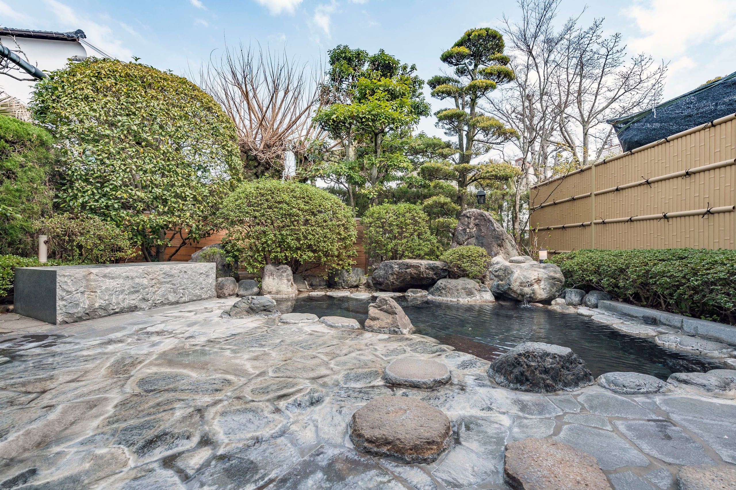
Eastern Hokkaido in winter belongs to The Custom Tour of Japan: a private journey designed for one party, on its own dates, from five nights upwards. It can take in the drift ice off Abashiri, the red-crowned cranes dancing on the Kushiro marsh and an outdoor onsen in falling snow, with a glass of something warm at the edge.
A Tour Director travels with the party every day, and a private car and driver carry it across the long white roads between the coast and the lakes, so the cold stays on the far side of the glass until there is something worth stepping out for.